
 |
| After climbing from Pian delle More, begin the trail to Monte Ciastelat here |
 |
| Rocky pastures below north side of Pala Fontana |
 |
| Ruins of cheese maker's hut |
 |
| Ruderi casera |
 |
| Ruderi casera |
 |
| Looking through the entrance of the cheese maker's hut ruins |
 |
| Piled-rock walls kept sheep from wandering away |
 |
| Piled-rock walls |
 |
| Monte Ciastelat summit |
 |
| Almost there: now you must scale these rocks |
 |
| From the summit: looking east toward Slovenia |
 |
| Monte Raut and the southeast end of Monte Ressetum |
 |
| Monte Ressetum wall east of Valcellina |
 |
| Taller peaks to the north |
 |
| Panning north northwest |
 |
| Monte Cavallo Gruppo (Piancavallo area far left) |
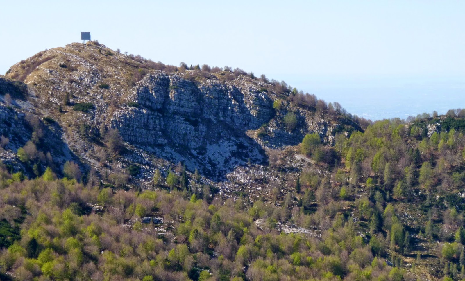 |
| North side of Pala Fontana showing microwave reflector (from our house only the side view is visible: looks like a short tower) |
 |
| Zoom in on tall peaks to north (need to look them up in peakfinder) I think the town is Cimolais |
 |
| Panned to north northwest |
 |
| Must go explore these huge karst formations; may be easier to reach from Monterale Valcellina Osservatorio Astronomico |
No comments:
Post a Comment
Note: Only a member of this blog may post a comment.