
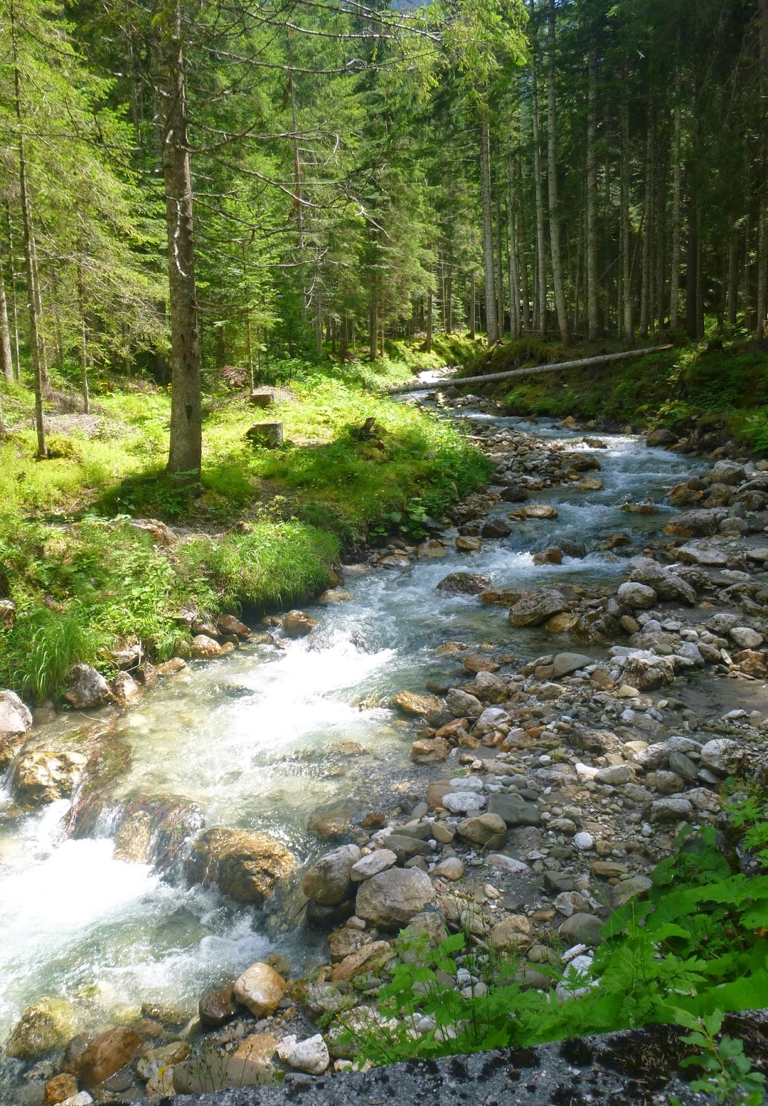
At the top the road turns to dirt, but is roadbike-able (I climbed it with the Merckx in 2011). This time I used the MTB because I wanted to try the dirt descent to Val da Rin and Auronzo. The map I printed off the web was kinda sketchy but a very nice Italian MTBer stopped and took a good map out and showed me the best way. The descent was very steep loose rock but at least was dry at first. Then I stopped to chat with another MTBer pushing his bike up from the bottom (there are descriptions online of riding up this, but I don't see how it's humanly possible). He said the trail below was brutto because it was full of mud and water from all the rain. He was right, it sucked, but it didn't seem too bad after last week at Val Visdende.
Eventually I reached Val da Rin, forded across and headed down the paved road to SR48 west of Auronzo. Easy ride from here on main roads down to Lozzo di Cadore. Will come back and try to explore Col Vidal fortress next time.
 |
| Rolling Pian dei Buoi pastures |
 |
| Monte Ciareido, left |
 |
| Dolomiti peaks on horizon |
 |
| View to northwest |
 |
| Val Poorse |
 |
| Cimon di Froppa above Val da Rin meadow |
No comments:
Post a Comment
Note: Only a member of this blog may post a comment.